
Talaksan:Map of municipalities of Colombia 2007.svg

Size of this PNG preview of this SVG file: 506 x 600 na pixel. Ibang mga resolusyon: 202 x 240 na pixel | 405 x 480 na pixel | 648 x 768 na pixel | 864 x 1,024 na pixel | 1,727 x 2,048 na pixel | 512 x 607 na pixel.
Buong resolusyon ((Larawang SVG, tinatayang 512 × 607 mga pixel, laki ng talakasan: 3.01 MB))
|
|
Ito ay isang talaksan mula sa Wikimedia Commons. Makikita sa ibaba ang impormasyon mula sa pahina ng paglalarawan nito roon. |
Buod
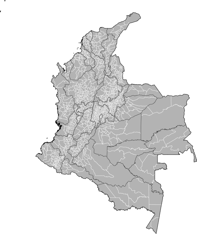
| Paglalarawan | Map of the municipalities of Colombia. Created by Rarelibra 15:39, 23 October 2007 (UTC) for public domain use, using MapInfo Professional v8.5 and various mapping resources. NOTE: Map includes the localidades of Bogota. |
| Petsa | 23 Oktubre 2007 (original upload date) |
| Pinanggalingan | No machine-readable source provided. Own work assumed (based on copyright claims). |
| May-akda | No machine-readable author provided. Rarelibra assumed (based on copyright claims). |
Paglilisensiya
| Ako, ang may tangan ng karapatang-ari ng akdang ito, ay pinakakawalan ang akdang ito sa nasasakupan ng madla. Magagamit ito sa buong mundo. Maaaring hindi ito posibleng legal sa ilang mga bansa; kung ganito: Ibinibigay ko sa sinuman ang karapatang gamitin ang akdang ito para sa anumang layunin, na walang mga kundisyon, maliban na lang kung ang ganyang mga kundisyon ay kailangan ng batas. |
Nakaraan ng file
Pindutin ang araw/oras upang makita kung papaano ang itsura ng talaksan noong oras na iyon.
| Araw/Oras | Thumbnail | Mga dimensiyon | tagagamit | Kumento | |
|---|---|---|---|---|---|
| ngayon | 20:59, 4 Pebrero 2013 | | 512 × 607 (3.01 MB) | Milenioscuro | correction of some departmental borders |
| 22:51, 21 Pebrero 2012 |  | 512 × 607 (3 MB) | Milenioscuro | added locator, thick lines | |
| 22:38, 21 Pebrero 2012 |  | 512 × 607 (2.96 MB) | Milenioscuro | added new municipalities, larger size | |
| 18:53, 24 Oktubre 2007 |  | 512 × 323 (2.47 MB) | Rarelibra | corrected version - thank you to User Bogomolov for pointing out the error! | |
| 15:39, 23 Oktubre 2007 |  | 512 × 324 (2.42 MB) | Rarelibra | Map of the municipalities of Colombia. Created by ~~~~ for public domain use, using MapInfo Professional v8.5 and various mapping resources. |
Mga ugnay
Walang mga pahina ang tumuturo sa talaksang ito.
Pandaigdigang paggamit sa file
Ginagamit ng mga sumusunod na wiki ang file na ito:
- Paggamit sa fr.wikipedia.org