
Talaksan:France location map-Regions and departements-2015.svg

Size of this PNG preview of this SVG file: 624 x 600 na pixel. Ibang mga resolusyon: 250 x 240 na pixel | 499 x 480 na pixel | 799 x 768 na pixel | 1,066 x 1,024 na pixel | 2,131 x 2,048 na pixel | 2,000 x 1,922 na pixel.
Buong resolusyon ((Larawang SVG, tinatayang 2,000 × 1,922 mga pixel, laki ng talakasan: 699 KB))
|
|
Ito ay isang talaksan mula sa Wikimedia Commons. Makikita sa ibaba ang impormasyon mula sa pahina ng paglalarawan nito roon. |
Buod
| Paglalarawan |
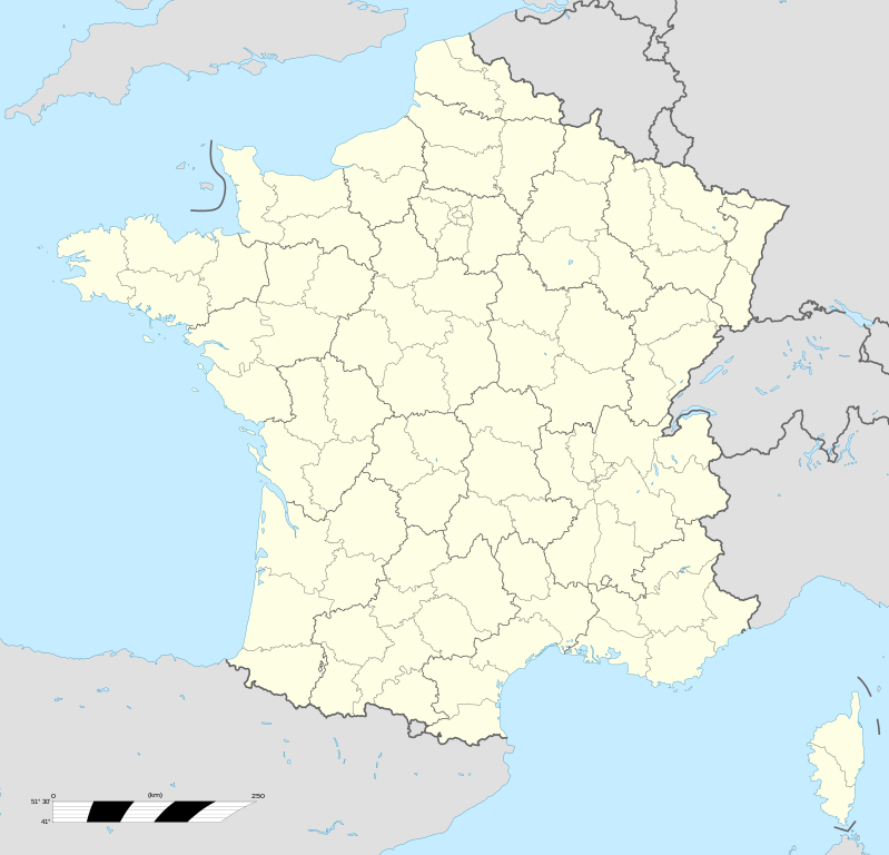
English: Blank administrative map of France for geo-location purpose, with regions and departements distinguished. Approximate scale : 1:3,000,000 Français : Carte administrative vierge de la France destinée à la géolocalisation, avec régions et départements distingués.
Échelle approximative : 1:3 000 000 Equirectangular projection, WGS84 datum
Geographic limits of the map :
|
| Petsa | |
| Pinanggalingan |
Own work based on: France location map-Regions and departements.svg
|
| May-akda | Eric Gaba (Sting - fr:Sting); Ajout Métropole de Lyon: Otourly |
| Iba pang mga bersyon |
|
| SVG genesis | Ang source code ng itong SVG ay hindi wasto dahil sa isang pagkamali. This map uses embedded text. |


.svg)
| Object location | | View this and other nearby images on: OpenStreetMap |
|---|
Paglilisensiya
Ako, na may karapatang-ari ng akdang ito, ang naglalathala nito alinsunod sa ilalim ng sumusunod na mga lisensya:

|
Pinapayagan ang pagkopya, pamamahagi, at/o pagbabago sa dokumentong ito sa ilalim ng mga nakasaad sa GNU Free Documentation License, Bersyon 1.2 o kahit anong mas bagong bersyong nilathala ng Free Software Foundation; nang walang pabago-bagong bahagi, walang teksto sa front-cover, at walang teksto sa back-cover. May nakalagay na kopya ng lisensiya sa bahaging pinamagatang GNU Free Documentation License. |
This file is licensed under the Creative Commons Attribution-Share Alike 4.0 International, 3.0 Unported, 2.5 Generic, 2.0 Generic and 1.0 Generic license.
- Malaya kang:
- para ibahagi – para kopyahin, ipamahagi, at i-transmit ang akda
- para i-remix – para i-adapt ang akda
- Sa ilalim ng mga kondisyong ito:
- atribusyon – Dapat magbigay ka ng isang maayos na pag-credit, ibigay ang link sa lisensiya, at tukuyin kung may mga pagbabagong ginawa. Magagawa mo ito sa isang risonableng paraan, pero hindi sa paraan na para bang ineendorso ka o ng paggamit mo ng naglisensiya sa'yo.
- share alike – Kung ire-remix mo, babaguhin, o magdadagdag ka sa materyal, dapat mong ipamahagi ang mga ambag mo sa ilalim ng pareho o katulad na lisensiya.
Makakapili ka ng lisensiyang gusto mo.
Nakaraan ng file
Pindutin ang araw/oras upang makita kung papaano ang itsura ng talaksan noong oras na iyon.
| Araw/Oras | Thumbnail | Mga dimensiyon | tagagamit | Kumento | |
|---|---|---|---|---|---|
| ngayon | 13:49, 19 Oktubre 2017 | | 2,000 × 1,922 (699 KB) | Sting | No borders over the Lake of Constance |
| 20:58, 30 Disyembre 2014 |  | 2,000 × 1,922 (700 KB) | Otourly | User created page with UploadWizard |
Mga ugnay
Walang mga pahina ang tumuturo sa talaksang ito.
Pandaigdigang paggamit sa file
Ginagamit ng mga sumusunod na wiki ang file na ito:
- Paggamit sa de.wikipedia.org
- Paggamit sa fr.wikipedia.org
- Paggamit sa hu.wiktionary.org
- Paggamit sa mn.wikipedia.org