
Talaksan:Hamhung 127.54085E 39.91185N.jpg

Laki ng pasilip na ito: 800 x 599 na pixel. Ibang mga resolusyon: 320 x 240 na pixel | 640 x 479 na pixel | 1,024 x 766 na pixel | 1,280 x 958 na pixel.
Buong resolusyon ((1,280 × 958 pixel, laki ng talaksan: 207 KB, uri ng MIME: image/jpeg))
|
|
Ito ay isang talaksan mula sa Wikimedia Commons. Makikita sa ibaba ang impormasyon mula sa pahina ng paglalarawan nito roon. |
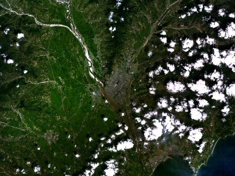
Hamhŭng, North Korea
| This image is in the public domain because it is a screenshot from NASA’s globe software World Wind using a public domain layer, such as Blue Marble, MODIS, Landsat, SRTM, USGS or GLOBE.
|
 |
Nakaraan ng file
Pindutin ang araw/oras upang makita kung papaano ang itsura ng talaksan noong oras na iyon.
| Araw/Oras | Thumbnail | Mga dimensiyon | tagagamit | Kumento | |
|---|---|---|---|---|---|
| ngayon | 16:05, 21 Hulyo 2005 | | 1,280 × 958 (207 KB) | Rex | Hamhŭng, North Korea {{World Wind}} |
Mga ugnay
Nakaturo sa talaksan na ito ang mga sumusunod na mga pahina:
Pandaigdigang paggamit sa file
Ginagamit ng mga sumusunod na wiki ang file na ito:
- Paggamit sa ca.wikipedia.org
- Paggamit sa da.wikipedia.org
- Paggamit sa de.wikipedia.org
- Paggamit sa fr.wikipedia.org
- Paggamit sa ja.wikipedia.org
- Paggamit sa ko.wikipedia.org
- Paggamit sa nds.wikipedia.org
- Paggamit sa nl.wikipedia.org
- Paggamit sa no.wikipedia.org
- Paggamit sa pt.wikipedia.org
- Paggamit sa tt.wikipedia.org
- Paggamit sa www.wikidata.org
- Paggamit sa zh.wikipedia.org