
Talaksan:Philippines-map-blank.png
Laki ng pasilip na ito: 274 x 598 na pixel. Ibang resolusyon: 110 x 240 na pixel | 328 x 716 na pixel.
Buong resolusyon ((328 × 716 pixel, laki ng talaksan: 14 KB, uri ng MIME: image/png))
|
|
Ito ay isang talaksan mula sa Wikimedia Commons. Makikita sa ibaba ang impormasyon mula sa pahina ng paglalarawan nito roon. |

|
This map has been uploaded by Electionworld from en.wikipedia.org to enable the |
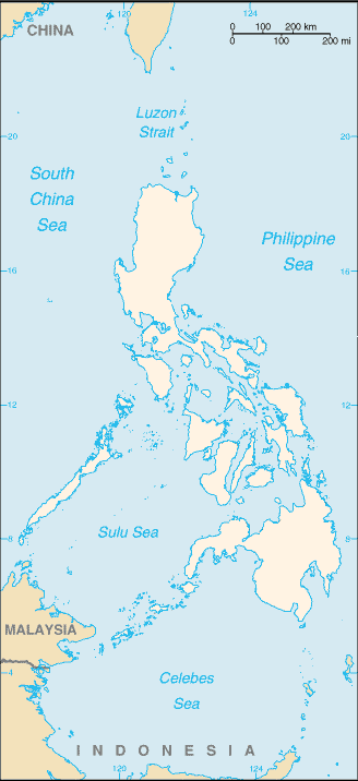
Map of the Philippines
This image is in the public domain because it contains materials that originally came from the United States Central Intelligence Agency's World Factbook.
|
 |
Buod
| Paglalarawan |
English: variation of File:Philippines-locator-map-blank.png, with some english text
Esperanto: variaĵo de File:Philippines-locator-map-blank.png, kun iom da angla teksto |
| Petsa | |
| Pinanggalingan | from the 2002 Factbook, blanked by Bemoeial2 09:17, 24 July 2007 (UTC) |
| May-akda | CIA World Fact Book |
| Iba pang mga bersyon | File:Philippines-locator-map-blank.png |
Nakaraan ng file
Pindutin ang araw/oras upang makita kung papaano ang itsura ng talaksan noong oras na iyon.
| Araw/Oras | Thumbnail | Mga dimensiyon | tagagamit | Kumento | |
|---|---|---|---|---|---|
| ngayon | 09:15, 24 Hulyo 2007 | | 328 × 716 (14 KB) | Bemoeial~commonswiki | {{{CIA}}} |
Mga ugnay
Walang mga pahina ang tumuturo sa talaksang ito.
Pandaigdigang paggamit sa file
Ginagamit ng mga sumusunod na wiki ang file na ito:
- Paggamit sa en.wikipedia.org
- Paggamit sa he.wikipedia.org
- Paggamit sa szy.wikipedia.org