
Talaksan:Bailey Covered Bridge.jpg

Laki ng pasilip na ito: 800 x 600 na pixel. Ibang resolusyon: 320 x 240 na pixel | 640 x 480 na pixel | 1,024 x 768 na pixel | 1,280 x 960 na pixel | 1,632 x 1,224 na pixel.
Buong resolusyon ((1,632 × 1,224 pixel, laki ng talaksan: 885 KB, uri ng MIME: image/jpeg))
|
|
Ito ay isang talaksan mula sa Wikimedia Commons. Makikita sa ibaba ang impormasyon mula sa pahina ng paglalarawan nito roon. |
|
This is an image of a place or building that is listed on the National Register of Historic Places in the United States of America. Its reference number is 79002355. |
| Camera location | | View this and other nearby images on: OpenStreetMap |
|---|
| Paglalarawan |
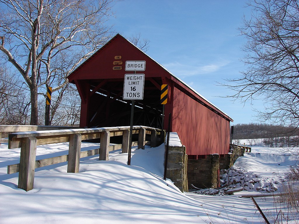
English: Side and end of the Bailey Covered Bridge, which carries Bailey Road over Ten Mile Creek southeast of Prosperity in Amwell Township, Washington County, Pennsylvania, United States. Built in 1889, it is listed on the National Register of Historic Places. |
| Petsa | |
| Pinanggalingan | Flickr |
| May-akda | Kathy |
| Permiso (Muling paggamit sa file) |
Ang talaksang ito ay nakalisensiya sa ilalim ng lisensiyang Atribusyon 2.0 Heneriko ng Creative Commons.
|
| This image was originally posted to Flickr by rittyrats at https://www.flickr.com/photos/25229920@N00/396095843. It was reviewed on 22 Pebrero 2011 by FlickreviewR and was confirmed to be licensed under the terms of the cc-by-2.0. |
Nakaraan ng file
Pindutin ang araw/oras upang makita kung papaano ang itsura ng talaksan noong oras na iyon.
| Araw/Oras | Thumbnail | Mga dimensiyon | tagagamit | Kumento | |
|---|---|---|---|---|---|
| ngayon | 03:49, 22 Pebrero 2011 | | 1,632 × 1,224 (885 KB) | Nyttend | {{Location|40|1|14|N|80|11|45|W}} {{Information |Description={{en|Side and end of the {{w|Bailey Covered Bridge}}, which carries Bailey Road over Ten Mile Creek southeast of {{w|Prosperity, Pennsylvania|Prosperity}} in {{w|Amwell Township, Washington Coun |
Mga ugnay
Nakaturo sa talaksan na ito ang mga sumusunod na mga pahina:
Pandaigdigang paggamit sa file
Ginagamit ng mga sumusunod na wiki ang file na ito:
- Paggamit sa cy.wikipedia.org
- Paggamit sa en.wikipedia.org
- Paggamit sa es.wikipedia.org
- Paggamit sa uk.wikipedia.org
- Paggamit sa vi.wikipedia.org
- Paggamit sa www.wikidata.org