
Talaksan:Burkina sat.png
Laki ng pasilip na ito: 800 x 575 na pixel. Ibang resolusyon: 320 x 230 na pixel | 640 x 460 na pixel | 950 x 683 na pixel.
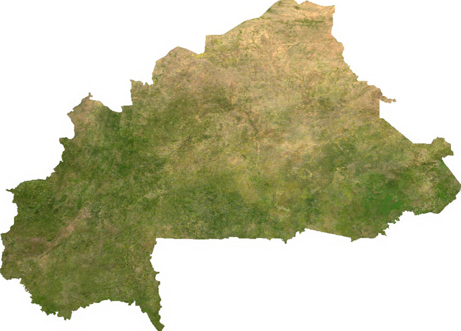
Buong resolusyon ((950 × 683 pixel, laki ng talaksan: 693 KB, uri ng MIME: image/png))
|
|
Ito ay isang talaksan mula sa Wikimedia Commons. Makikita sa ibaba ang impormasyon mula sa pahina ng paglalarawan nito roon. |
ECW to TIFF to PNG (compression level 9).
| This file is in the public domain, because it was generated by a user, using free sources available at The Map Library.
Note that this does not include the maps in the Global Administrative Areas section of the homepage. |
Nakaraan ng file
Pindutin ang araw/oras upang makita kung papaano ang itsura ng talaksan noong oras na iyon.
| Araw/Oras | Thumbnail | Mga dimensiyon | tagagamit | Kumento | |
|---|---|---|---|---|---|
| ngayon | 02:57, 13 Hulyo 2006 | | 950 × 683 (693 KB) | Unquietwiki | ECW to TIFF to PNG (compression level 9). {{PD-MapLibrary}} |
Mga ugnay
Nakaturo sa talaksan na ito ang mga sumusunod na mga pahina:
Pandaigdigang paggamit sa file
Ginagamit ng mga sumusunod na wiki ang file na ito:
- Paggamit sa af.wikipedia.org
- Paggamit sa arz.wikipedia.org
- Paggamit sa ast.wikipedia.org
- Paggamit sa bcl.wikipedia.org
- Paggamit sa bs.wikipedia.org
- Paggamit sa ca.wikipedia.org
- Paggamit sa cs.wikipedia.org
- Paggamit sa cy.wikipedia.org
- Paggamit sa dag.wikipedia.org
- Paggamit sa de.wikipedia.org
- Paggamit sa de.wikivoyage.org
- Paggamit sa dga.wikipedia.org
- Paggamit sa diq.wikipedia.org
- Paggamit sa en.wikipedia.org
- Paggamit sa es.wikipedia.org
- Paggamit sa ff.wikipedia.org
- Paggamit sa fr.wikipedia.org
- Paggamit sa fr.wikinews.org
- Paggamit sa fr.wikivoyage.org
- Paggamit sa ga.wikipedia.org
- Paggamit sa gl.wikipedia.org
- Paggamit sa gpe.wikipedia.org
- Paggamit sa ha.wikipedia.org
- Paggamit sa he.wikivoyage.org
- Paggamit sa hr.wikipedia.org
- Paggamit sa hu.wikipedia.org
- Paggamit sa ia.wikipedia.org
- Paggamit sa id.wikipedia.org
- Paggamit sa incubator.wikimedia.org
- Paggamit sa is.wikipedia.org
- Paggamit sa kab.wikipedia.org
- Paggamit sa ka.wikipedia.org
- Paggamit sa la.wikipedia.org
- Paggamit sa lt.wikipedia.org
- Paggamit sa mdf.wikipedia.org
- Paggamit sa mk.wikipedia.org
- Paggamit sa new.wikipedia.org
- Paggamit sa nqo.wikipedia.org
- Paggamit sa ps.wikipedia.org
- Paggamit sa rue.wikipedia.org
- Paggamit sa sd.wikipedia.org
- Paggamit sa si.wikipedia.org
Tingnan ang karagdagang pandaigdigang paggamit sa file na ito.