
Talaksan:Canterbury UK locator map.svg

Size of this PNG preview of this SVG file: 800 x 561 na pixel. Ibang mga resolusyon: 320 x 225 na pixel | 640 x 449 na pixel | 1,024 x 719 na pixel | 1,280 x 898 na pixel | 2,560 x 1,796 na pixel | 1,425 x 1,000 na pixel.
Buong resolusyon ((Larawang SVG, tinatayang 1,425 × 1,000 mga pixel, laki ng talakasan: 1.18 MB))
|
|
Ito ay isang talaksan mula sa Wikimedia Commons. Makikita sa ibaba ang impormasyon mula sa pahina ng paglalarawan nito roon. |
| Paglalarawan |
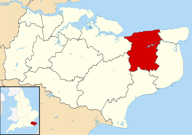
Map of Kent, UK with Canterbury highlighted. Equirectangular map projection on WGS 84 datum, with N/S stretched 160% |
| Petsa | |
| Pinanggalingan |
|
| May-akda | Nilfanion, created using Ordnance Survey data |
| Permiso (Muling paggamit sa file) |
Lisensyado ang file na ito sa ilalim ng lisensiyang Creative Commons Attribution-Share Alike 3.0 Unported. Atribusyon: Contains Ordnance Survey data © Crown copyright and database right
|
Nakaraan ng file
Pindutin ang araw/oras upang makita kung papaano ang itsura ng talaksan noong oras na iyon.
| Araw/Oras | Thumbnail | Mga dimensiyon | tagagamit | Kumento | |
|---|---|---|---|---|---|
| ngayon | 09:06, 2 Agosto 2011 | | 1,425 × 1,000 (1.18 MB) | Nilfanion | {{Information |Description=Map of Kent, UK with Canterbury highlighted. Equirectangular map projection on WGS 84 datum, with N/S stretched 160% |Source=Ordnance Survey [https://www.ordnancesurvey. |
Mga ugnay
Walang mga pahina ang tumuturo sa talaksang ito.
Pandaigdigang paggamit sa file
Ginagamit ng mga sumusunod na wiki ang file na ito:
- Paggamit sa ar.wikipedia.org
- Paggamit sa azb.wikipedia.org
- Paggamit sa br.wikipedia.org
- Paggamit sa cy.wikipedia.org
- Paggamit sa en.wikipedia.org
- Canterbury
- Herne Bay
- Whitstable
- Fordwich
- City of Canterbury
- Reculver
- Sturry
- Westbere
- Chartham
- Adisham
- Harbledown
- Bishopsbourne
- Herne and Broomfield
- Blean
- Barham, Kent
- Bekesbourne-with-Patrixbourne
- Upper Harbledown
- Marshside, Kent
- Chislet
- Womenswold
- Chestfield
- Hoath
- Template:Canterbury
- Bekesbourne
- Bridge, Kent
- Hackington
- Herne, Kent
- Hersden
- Patrixbourne
- Ickham and Well
- Kingston, Kent
- Littlebourne
- Lower Hardres
- Upper Hardres
- Petham
- Yorkletts
- Tankerton
- Wickhambreaux
- Thanington
- Wincheap
- Swalecliffe
- Tyler Hill, Kent
- Beltinge
- Waltham, Kent
- Rough Common
- Broad Oak, Kent
Tingnan ang karagdagang pandaigdigang paggamit sa file na ito.