
Talaksan:Europe blank laea location map.svg

Size of this PNG preview of this SVG file: 701 x 599 na pixel. Ibang mga resolusyon: 281 x 240 na pixel | 561 x 480 na pixel | 898 x 768 na pixel | 1,198 x 1,024 na pixel | 2,395 x 2,048 na pixel | 1,401 x 1,198 na pixel.
Buong resolusyon ((Larawang SVG, tinatayang 1,401 × 1,198 mga pixel, laki ng talakasan: 1.42 MB))
|
|
Ito ay isang talaksan mula sa Wikimedia Commons. Makikita sa ibaba ang impormasyon mula sa pahina ng paglalarawan nito roon. |
Bosnia
Buod
| Paglalarawan |
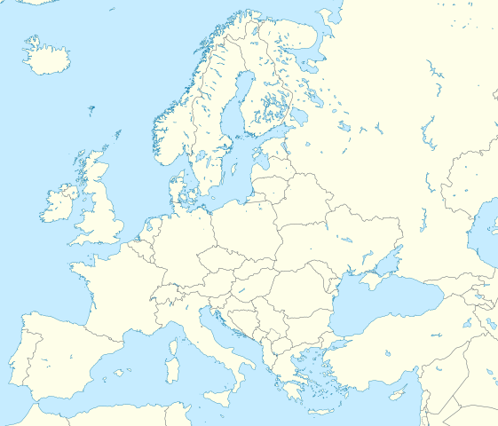
Deutsch: Positionskarte Europa; Politisch mit Staatsgrenzen; Flächentreue Azimutalprojektion
English: Location map Europe; Political with state boundaries; Lambert azimuthal equal-area projection
|
| Petsa | |
| Pinanggalingan |
Sariling gawa
|
| May-akda | Alexrk2 |
| Iba pang mga bersyon |
Derivative works of this file: []
|


.svg)


|
This map has been made or improved in the German Kartenwerkstatt (Map Lab). You can propose maps to improve as well.
|
Paglilisensiya
Ako, na may karapatang-ari ng akdang ito, ang naglalathala nito alinsunod sa ilalim ng sumusunod na mga lisensya:
Lisensyado ang file na ito sa ilalim ng lisensiyang Creative Commons Attribution-Share Alike 3.0 Unported.
- Malaya kang:
- para ibahagi – para kopyahin, ipamahagi, at i-transmit ang akda
- para i-remix – para i-adapt ang akda
- Sa ilalim ng mga kondisyong ito:
- atribusyon – Dapat magbigay ka ng isang maayos na pag-credit, ibigay ang link sa lisensiya, at tukuyin kung may mga pagbabagong ginawa. Magagawa mo ito sa isang risonableng paraan, pero hindi sa paraan na para bang ineendorso ka o ng paggamit mo ng naglisensiya sa'yo.
- share alike – Kung ire-remix mo, babaguhin, o magdadagdag ka sa materyal, dapat mong ipamahagi ang mga ambag mo sa ilalim ng pareho o katulad na lisensiya.
Nakaraan ng file
Pindutin ang araw/oras upang makita kung papaano ang itsura ng talaksan noong oras na iyon.
| Araw/Oras | Thumbnail | Mga dimensiyon | tagagamit | Kumento | |
|---|---|---|---|---|---|
| ngayon | 03:13, 9 Marso 2020 | | 1,401 × 1,198 (1.42 MB) | Ratherous | Add more inland water for better accuracy |
| 10:28, 1 Pebrero 2020 |  | 1,401 × 1,198 (1.84 MB) | Thayts | + disputed crimea, golan heights, and other minor border tweaks | |
| 20:50, 11 Marso 2010 |  | 1,401 × 1,198 (1.84 MB) | Alexrk2 | fixing inland water | |
| 19:58, 11 Marso 2010 |  | 1,401 × 1,198 (1.83 MB) | Alexrk2 | == Summary == {{Information |Description= {{de|Positionskarte Europa; Politisch mit Staatsgrenzen; Flächentreue Azimutalprojektion}} {{en|Location map Europe; Political with state boundaries; Lambert azimuthal equal-area pro |
Mga ugnay
Nakaturo sa talaksan na ito ang mga sumusunod na mga pahina:
Pandaigdigang paggamit sa file
Ginagamit ng mga sumusunod na wiki ang file na ito:
- Paggamit sa ab.wikipedia.org
- Paggamit sa af.wikipedia.org
- Paggamit sa als.wikipedia.org
- Paggamit sa ar.wikipedia.org
- دوري أبطال أوروبا 2000–01
- دوري أبطال أوروبا 1994–95
- دوري أبطال أوروبا 1995–96
- دوري أبطال أوروبا 1996–97
- قالب:خريطة مواقع أوروبا
- بطولات رابطة محترفي التنس 500 نقطة
- الدوري الأوروبي لكرة السلة
- قالب:خريطة موقع أوروبا
- مجموعة سيتي لكرة القدم
- دوري أبطال أوروبا لكرة اليد
- الدوري الأوروبي 2016–17
- الكأس الدولية للأبطال 2016
- دوري أبطال أوروبا 2017–18
- الكأس الدولية للأبطال 2019
- قائمة مدن الاتحاد الأوروبي حسب تعداد السكان المسلمين
- ناسداك نورديك
- قالب:2019–20 coronavirus pandemic data/Map (dots)
- يوروكوربس
- دوري المؤتمر الأوروبي 2021–22
- دوري السوبر الأوروبي
- الدوري الأوروبي 2022–23
- سباق الجائزة الكبرى للدراجات النارية موسم 2022
- دوري أبطال أوروبا 2023–24
- الدوري الأوروبي 2023–24
- سباق الجائزة الكبرى للدراجات النارية موسم 2023
- دوري المؤتمر الأوروبي 2023–24
- Paggamit sa arz.wikipedia.org
- Paggamit sa ast.wikipedia.org
- Paggamit sa av.wikipedia.org
- Paggamit sa azb.wikipedia.org
Tingnan ang karagdagang pandaigdigang paggamit sa file na ito.