
Talaksan:Fukaura town center area Aerial photograph.1975.jpg
Laki ng pasilip na ito: 800 x 578 na pixel. Ibang mga resolusyon: 320 x 231 na pixel | 640 x 463 na pixel | 1,024 x 740 na pixel | 1,280 x 925 na pixel | 2,560 x 1,850 na pixel | 4,728 x 3,417 na pixel.
Buong resolusyon ((4,728 × 3,417 pixel, laki ng talaksan: 24.46 MB, uri ng MIME: image/jpeg))
|
|
Ito ay isang talaksan mula sa Wikimedia Commons. Makikita sa ibaba ang impormasyon mula sa pahina ng paglalarawan nito roon. |
Buod
| Paglalarawan |
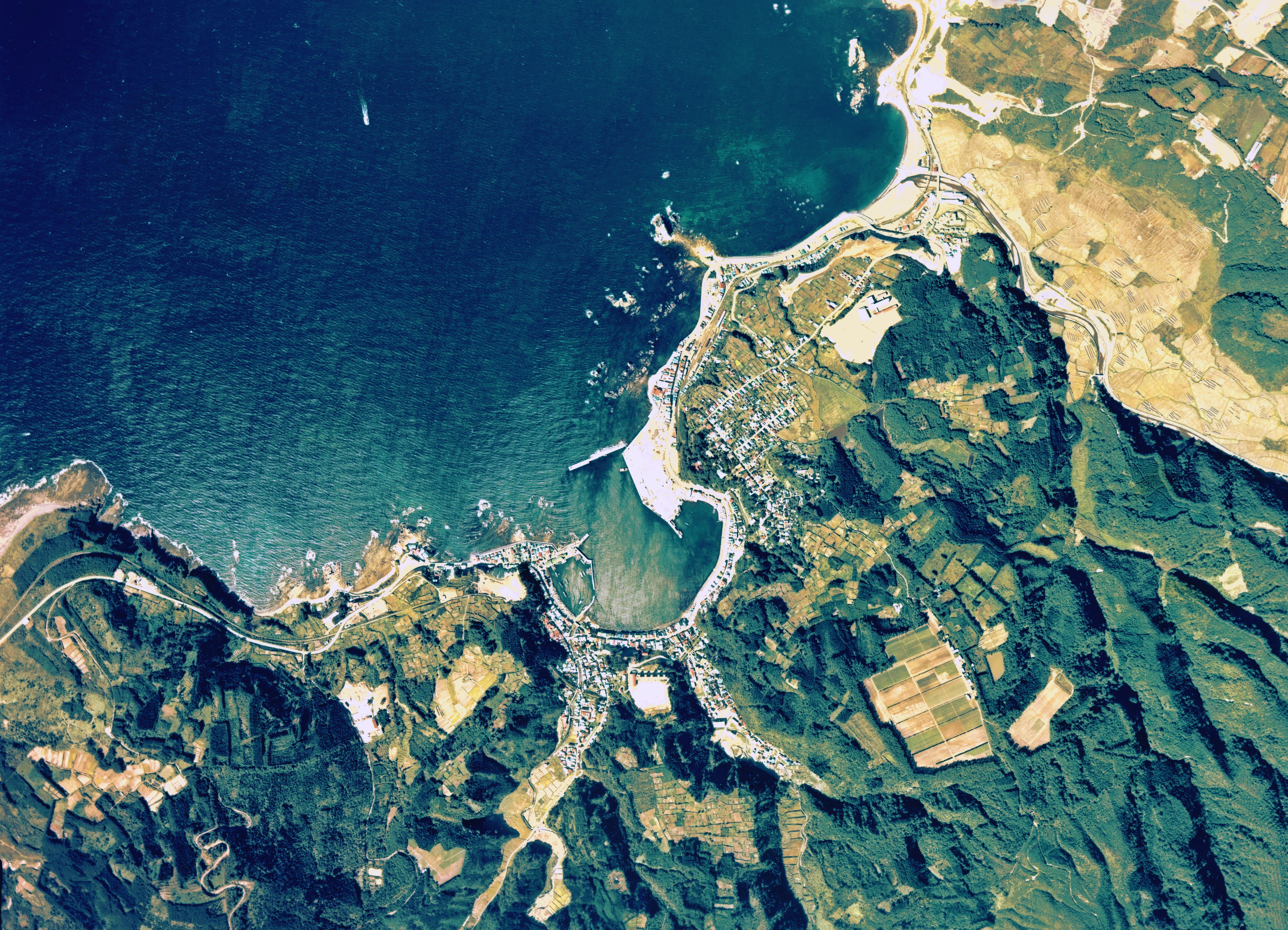
English: Fukaura town center area Aerial photograph.1975
日本語: 深浦町(青森県)中心部付近の空中写真。Cto-75-21_c9aの3,4、合計2枚を合成作成。 |
| Petsa | |
| Pinanggalingan | 国土情報ウェブマッピングシステム |
| May-akda | 国土交通省 |
Paglilisensiya

|
Nagpapahintulot sa sinuman ang may-hawak ng karapatang-ari sa talaksang ito, the Ministry of Land, Infrastructure, Transport and Tourism of Japan, na gamitin ito para sa anumang layunin, basta't angkop na binabanggit ang tagahawak ng karapatang-ari. Pinapayagan ang muling pagpapamahagi, gawaing hango, pangkomersiyong paggamit, at lahat ng iba pang paggamit. |
Atribusyon:
Copyright © National Land Image Information (Color Aerial Photographs), Ministry of Land, Infrastructure, Transport and Tourism
|
 |
This image is copyrighted by the Ministry of Land, Infrastructure, Transport and Tourism of Japan. For terms of use, see the stipulation to use of National Land Information (in Japanese) and message from MLIT (in Japanese and English). When you display this image on an article, include the following phrase in the description: "Made based on National Land Image Information (Color Aerial Photographs), Ministry of Land, Infrastructure, Transport and Tourism".
|
Nakaraan ng file
Pindutin ang araw/oras upang makita kung papaano ang itsura ng talaksan noong oras na iyon.
| Araw/Oras | Thumbnail | Mga dimensiyon | tagagamit | Kumento | |
|---|---|---|---|---|---|
| ngayon | 10:25, 23 Oktubre 2017 | | 4,728 × 3,417 (24.46 MB) | Togabi | Color adjustment. |
| 03:04, 5 Disyembre 2013 |  | 4,728 × 3,417 (11.3 MB) | さかおり | {{Information |Description ={{en|1=Fukaura town center area Aerial photograph.1975}} {{ja|1=深浦町(青森県)中心部付近の空中写真。Cto-75-21_c9aの3,4、合計2枚を合成作成。}} |Source =国土情報ウェブマッピ... |
Mga ugnay
Walang mga pahina ang tumuturo sa talaksang ito.
Pandaigdigang paggamit sa file
Ginagamit ng mga sumusunod na wiki ang file na ito:
- Paggamit sa en.wikipedia.org
- Paggamit sa id.wikipedia.org
- Paggamit sa ja.wikipedia.org