
Talaksan:Iglesia de San Martín de Tours (Madrid) 01.jpg
Laki ng pasilip na ito: 450 x 600 na pixel. Ibang resolusyon: 180 x 240 na pixel | 360 x 480 na pixel | 768 x 1,024 na pixel.
Buong resolusyon ((768 × 1,024 pixel, laki ng talaksan: 502 KB, uri ng MIME: image/jpeg))
|
|
Ito ay isang talaksan mula sa Wikimedia Commons. Makikita sa ibaba ang impormasyon mula sa pahina ng paglalarawan nito roon. |
_01.jpg?uselang=tl)
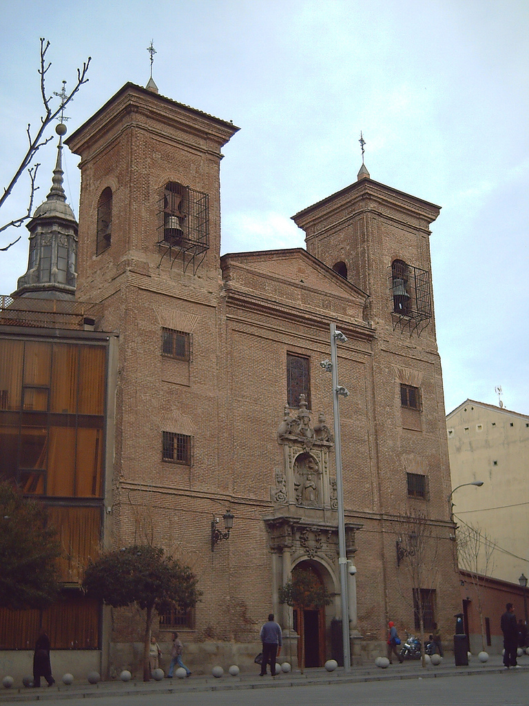
This is a photo of a monument indexed in the Spanish heritage register of Bienes de Interés Cultural under the reference 9140. |
| Paglalarawan |
English: Iglesia de San Martín de Tours ("St. Martin of Tours' Church"), at 26 Calle del Desengaño (street) in Madrid (Spain). The first building, a little oratory, was made in the middle of the 17th century. Alterations and extensions were made from the end of the 17th to the middle of the 18th century.
Español: Iglesia de San Martín de Tours, en el nº 26 de la Calle del Desengaño de Madrid (España). El edificio primitivo, un pequeño oratorio llamado Templo de Nuestra Señora de Porta Coeli, fue construido a mediados del siglo XVII. Desde fines del mismo hasta mediados del XVIII se realizaron las reformas y ampliaciones. Iglesia de San Martín de Tours (Madrid) 01 |
||
| Petsa | |||
| Pinanggalingan | Flickr | ||
| May-akda | Luis García from Madrid (Espanya). | ||
| Permiso (Muling paggamit sa file) |
Ang talaksang ito ay nakalisensiya sa ilalim ng lisensiyang Creative Commons Atribusyon-Pagpapamahaging Magkatulad 2.0 Heneriko. Atribusyon: Luis García
|
| Object location | | View this and other nearby images on: OpenStreetMap |
|---|
_01.jpg¶ms=040.421275_N_-003.704624_E_globe:Earth_class:object_type:landmark_region:ES_&language=tl)
Nakaraan ng file
Pindutin ang araw/oras upang makita kung papaano ang itsura ng talaksan noong oras na iyon.
| Araw/Oras | Thumbnail | Mga dimensiyon | tagagamit | Kumento | |
|---|---|---|---|---|---|
| ngayon | 12:07, 26 Enero 2008 | | 768 × 1,024 (502 KB) | Zaqarbal | Originally posted to Flickr [http://www.flickr.com/photos/zaqarbal/2219151657/]. Licensing: Cc-by-sa-2.0. Photographer: Luis García. Taken: 25-January-2008. |
Mga ugnay
Nakaturo sa talaksan na ito ang mga sumusunod na mga pahina:
Pandaigdigang paggamit sa file
Ginagamit ng mga sumusunod na wiki ang file na ito:
- Paggamit sa de.wikipedia.org
- Paggamit sa en.wikipedia.org
- Paggamit sa es.wikipedia.org
- Paggamit sa incubator.wikimedia.org
- Paggamit sa pa.wikipedia.org
- Paggamit sa www.wikidata.org
- Paggamit sa zh.wikipedia.org
_01.jpg)