
Talaksan:Mapa de Provincias Corea.svg

Size of this PNG preview of this SVG file: 320 x 599 na pixel. Ibang resolusyon: 256 x 480 na pixel | 410 x 768 na pixel | 547 x 1,024 na pixel | 1,094 x 2,048 na pixel | 716 x 1,340 na pixel.
Buong resolusyon ((Larawang SVG, tinatayang 716 × 1,340 mga pixel, laki ng talakasan: 353 KB))
|
|
Ito ay isang talaksan mula sa Wikimedia Commons. Makikita sa ibaba ang impormasyon mula sa pahina ng paglalarawan nito roon. |
Buod
| Paglalarawan |
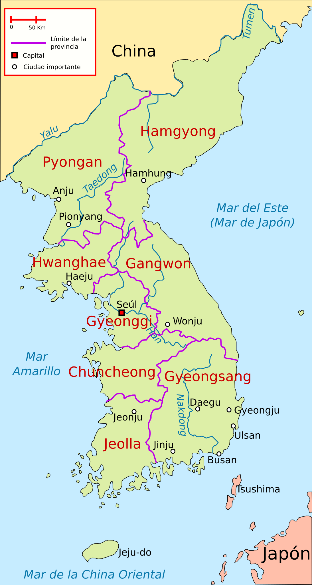
Español: Ubicación de las antiguas 8 provincias de Corea y las principales ciudades |
| Petsa | |
| Pinanggalingan | Sariling gawa, based on Image:Map of korea.png (deleted) and Image:Korea-8provinces.jpg |
| May-akda | Rage against |
| SVG genesis |
Paglilisensiya
Ako, na may karapatang-ari ng akdang ito, ang naglalathala nito alinsunod sa ilalim ng sumusunod na mga lisensya:

|
Pinapayagan ang pagkopya, pamamahagi, at/o pagbabago sa dokumentong ito sa ilalim ng mga nakasaad sa GNU Free Documentation License, Bersyon 1.2 o kahit anong mas bagong bersyong nilathala ng Free Software Foundation; nang walang pabago-bagong bahagi, walang teksto sa front-cover, at walang teksto sa back-cover. May nakalagay na kopya ng lisensiya sa bahaging pinamagatang GNU Free Documentation License. |
Ang talaksang ito ay nakalisensiya sa ilalim ng lisensiyang Creative Commons Atribusyon 3.0 Walang Daungan.
- Malaya kang:
- para ibahagi – para kopyahin, ipamahagi, at i-transmit ang akda
- para i-remix – para i-adapt ang akda
- Sa ilalim ng mga kondisyong ito:
- atribusyon – Dapat magbigay ka ng isang maayos na pag-credit, ibigay ang link sa lisensiya, at tukuyin kung may mga pagbabagong ginawa. Magagawa mo ito sa isang risonableng paraan, pero hindi sa paraan na para bang ineendorso ka o ng paggamit mo ng naglisensiya sa'yo.
Makakapili ka ng lisensiyang gusto mo.
Nakaraan ng file
Pindutin ang araw/oras upang makita kung papaano ang itsura ng talaksan noong oras na iyon.
| Araw/Oras | Thumbnail | Mga dimensiyon | tagagamit | Kumento | |
|---|---|---|---|---|---|
| ngayon | 23:14, 28 Hulyo 2019 | | 716 × 1,340 (353 KB) | Rowanwindwhistler | Minor changes |
| 05:22, 16 Marso 2010 |  | 716 × 1,340 (108 KB) | Rαge | + Mar del Este | |
| 10:25, 31 Enero 2009 |  | 716 × 1,340 (107 KB) | Valentim | Minor corrections | |
| 10:19, 31 Enero 2009 |  | 716 × 1,340 (108 KB) | Valentim | Unnecessary informations deleted (less informations make pictures more transparent) + "Mar de la China Oriental" | |
| 17:52, 19 Enero 2009 |  | 716 × 1,340 (107 KB) | Rαge | {{Information |Description= |Source= |Date= |Author= |Permission= |other_versions= }} | |
| 00:23, 23 Oktubre 2008 |  | 716 × 1,340 (107 KB) | Rαge | {{Information |Description={{es|1=Ubicación de las antiguas 8 provincias de Corea y las principales ciudades}} |Source=trabajo propio (own work), based on Image:Map_of_korea.png and Image:Korea-8provinces.jpg |Author=[[User:Rage against|Rage ag |
Mga ugnay
Walang mga pahina ang tumuturo sa talaksang ito.
Pandaigdigang paggamit sa file
Ginagamit ng mga sumusunod na wiki ang file na ito:
- Paggamit sa es.wikipedia.org