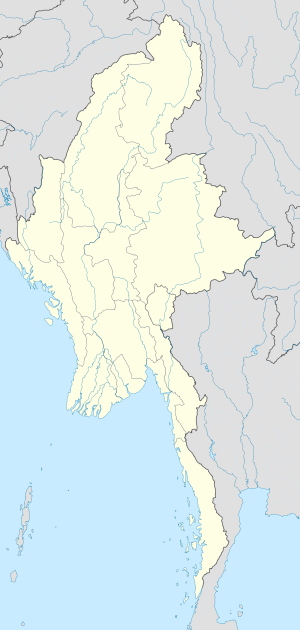
Taunggyi
Itsura
Taunggyi တောင်ကြီးမြို့ | |
|---|---|
 A view of Taunggyi | |
| Mga koordinado: 20°47′N 97°02′E / 20.783°N 97.033°E | |
| Country | |
| Division | Shan State |
| District | Taunggyi District |
| Township | Taunggyi Township |
| Founded | 1894 |
| Taas | 4,590 tal (1,400 m) |
| Populasyon | |
| • Lungsod | 381,639 |
| • Urban | 264,804 |
| • Rural | 116,835 |
| • Ethnicities | Tai, Pa-O, Burmese Chinese, Shan, Burmese Indians, Gurkha |
| • Religions | Buddhism, Christianity, Islam |
| Sona ng oras | UTC+6.30 (MMT) |
Taunggyi (Birmano: တောင်ကြီးမြို့; MLCTS: taung kri: mrui. [tàʊɴdʑí mjo̰]; Shan: ဝဵင်းတူၼ်ႈတီး Padron:IPA-shn, Pa-O: ဝေင်ꩻတောင်းကီꩻ) ay ang kabisera at ang lungsod ng Shan State, Myanmar (Burma).
Mga sanggunian
[baguhin | baguhin ang wikitext]- ↑ The 2014 Myanmar Population and Housing Census The Union Report Census Report Volume 2. Department of Population, Ministry of Immigration and Population. Mayo 2015. p. 52. Inarkibo mula sa orihinal noong 2016-03-06. Nakuha noong 2021-08-06.
{{cite book}}: CS1 maint: date auto-translated (link)

